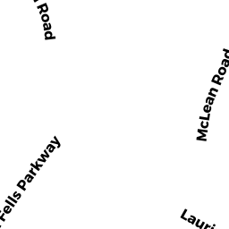
9 LAURINE RD
Owner Information
ROWINSKY, STEVEN H
9 LAURINE RD
SAUGUS, MA 01906


Property Details
9 LAURINE RD is classified as a Single Family Residential (Colonial).
The primary structure on this property was built in 1960. There are 2,356ft2 of built area within this property. There is 2,356ft2 of residential/living space within this property. This property is listed as having 7 rooms.
9 LAURINE RD is valued at $558,200. The land is valued at $252,500 and the structures are valued at $302,400. There is an additional valuation of $3,300 on this property.
The most recent deed for 9 LAURINE RD is recorded at the local registrar in Book 10663, Page 395. 9 LAURINE RD was last sold on Friday, December 21, 1990 for $1.
Assessment data from fiscal year 2022.
Flood Data
This property is partially within the AE Zone (within floodplain). Approximately 0.29 acres (95.01%) of the property is within this zone.
This information is sourced from the FEMA National Flood Hazard Layer. See our full disclamer.
Broadband Internet Providers
| Provider | Type | Bandwidth (mbps) | |
|---|---|---|---|
| VSAT Systems, LLC. | Satellite | 2 | 1 |
| HughesNet | Satellite | 25 | 3 |
| Verizon New England Inc. | DSL | 3 | 0 |
| Viasat Inc | Satellite | 100 | 3 |
| GCI Communication Corp. | Satellite | 0 | 0 |
| Comcast | Cable | 1000 | 35 |
Broadband service provider data from December 2020.